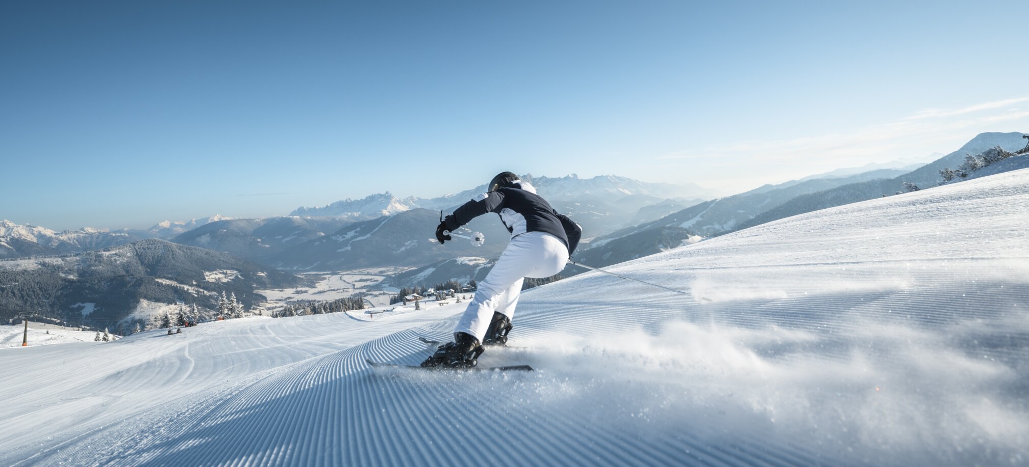
Ski amadé Panorama
Your Skiline in Ski amadé
Your personal diagram showing altitude difference
At a glance, find out more about the altitude difference and kilometers of descent covered during your ski day, as well as all lifts you have used!
In the Salzburger Sportwelt, Schladming-Dachstein, Gastein, Hochkönig and
Großarltal ski regions, you can review your day's skiing. You can obtain your personal diagram showing altitude difference in just a few seconds by entering your ski pass number.
In your individual skiline, you can see all lifts you have used as well as the altitude difference and distance travelled at one glance.
Your perfect planning tool
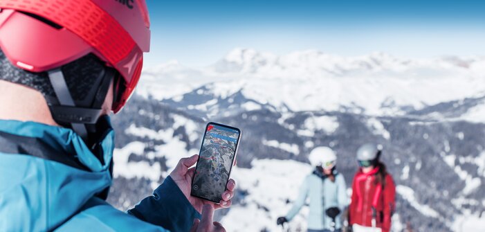
Ski amadé App – Plan your ski route through Ski amadé from your home
With the interaktive 3D model you get a photorealistic impression of the whole ski resort and a fascinating glimpse into the alpine scenery. With the app you can easily plan your ski vacation already at home and take it with you via the free mobile application the "Ski amadé App".
This app navigates you over the right slopes through the ski resort and automatically records all skied kilometers of slopes, speed and the altitude of your skiing day.
![]()
